Use the interactive Heights map to mark exits and items you find during your match.
IllFonic’s own video of Haddonfield Heights, the clearest moving look at the map.
Official map flythrough
Halloween | Haddonfield Heights Map Flythrough | IllFonic
IllFonic
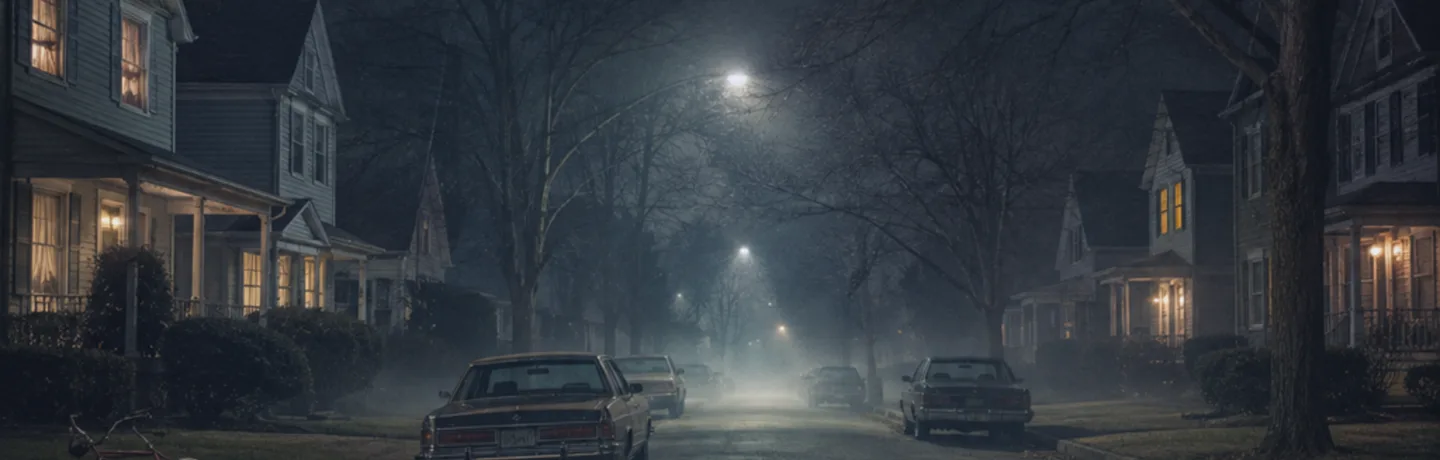
Haddonfield Heights
The quiet family neighbourhood where the 1963 Halloween night happened.
Haddonfield Heights is the residential map, and the one tied directly to the franchise's origin: the events of Halloween night 1963 played out here, fifteen years before the game's own night. The nightmare comes back to the same streets.
As a quiet, family-oriented neighbourhood it is the opposite of East Haddonfield: houses and yards rather than a bar, a garage and farmland.
IllFonic released a flythrough video of this map, the best look at its layout short of playing it.
Other stages
Common questions
- Which part of Haddonfield is Haddonfield Heights?
- The quiet family neighbourhood where the 1963 Halloween night happened.
- What landmarks are on Haddonfield Heights?
- The Strode house, The Myers house and The water tower. Each one is described below.
Landmarks on Haddonfield Heights
- The Strode house
- Iconic and instantly familiar. It sits here in the Heights, not in the Town Center.
- The Myers house
- Abandoned and allegedly haunted, down the block towards Lampkin Lane. The 1963 killing here is where the franchise begins.
- The water tower
- Looms over the quiet streets and anchors the map's skyline.
For how Haddonfield was built out of the 1978 film’s real locations, and what separates the four maps, see the map overview.
Keep going